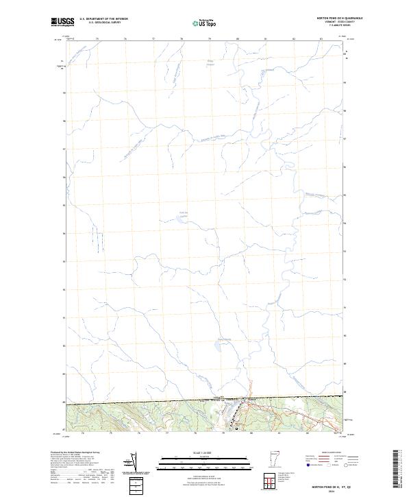
2024 Map of Norton Pond OE N
USGS Topo · Published 2024About this map
The international border between the Canada and the United States Of America defines the character of this northern Essex County landscape. Centered on the settlement of Norton, the terrain is dominated by a complex network of waterways that flow across the frontier, including the Coaticook River and the Ruisseau de Ladd's Mills. The naming conventions of features like Étang Cloutier, Lac à Robert, and Cours d'eau Vaillancourt reflect the deep French-Canadian cultural influence that persists along this section of the Vermont border. Local history is anchored at Saint Bernards Cem near the intersection of 114 and Baumann Rd. This survey documents the contemporary drainage and trail systems, such as the 105 Trl and 105A Trl, which navigate the wooded areas around Black Turn Brook and Mosher Meadow Brook, illustrating the region's reliance on both its water resources and recreational paths.
Find a feature on this map
27 named features on this map. Tap any name to fly to it.
Don’t see what you’re looking for? This feature index may not catch every label — zoom into the map to look around manually.
Map Details
Editions of this 2024 Norton Pond OE N Map
This is the sole edition of this map. No revisions or reprints were ever made.
Other maps of this area

1924 · Island Pond
USGS Topo · 1:48,000

1926 · Island Pond
USGS Topo · 1:62,500

1929 · Averill
USGS Topo · 1:62,500

1949 · Jackman
USGS Topo · 1:250,000

1950 · Lewiston
USGS Topo · 1:250,000

1953 · Island Pond
USGS Topo · 1:62,500

1953 · Averill
USGS Topo · 1:62,500

1956 · Lewiston
USGS Topo · 1:250,000

1961 · Lewiston
USGS Topo · 1:250,000

1962 · Lewiston
USGS Topo · 1:250,000