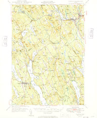
1949 Map of Norway
USGS Topo · Published 1949About this map
The Little Androscoggin River flows through the industrial and civic heart of Norway and South Paris in this mid-century survey of Oxford County. The landscape reflects a transition from the village-centered economies of Bolsters Mills and Scribners Mill toward the larger commercial hubs along the eastern edge of the quadrangle. Significant institutional landmarks are recorded, including the Town Farm near Harrison and the Bell Hill Meeting House in Otisfield, which serves as a notable high-ground marker overlooking the surrounding lakes.
Find a feature on this map
151 named features on this map. Tap any name to fly to it.
Don’t see what you’re looking for? This feature index may not catch every label — zoom into the map to look around manually.
Map Details
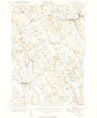
Editions of this 1949 Norway Map
2 editions found
Other maps of this area

1894 · Gray
USGS Topo · 1:62,500

1896 · Norway
USGS Topo · 1:62,500

1896 · Sebago
USGS Topo · 1:62,500

1898 · Gray
USGS Topo · 1:62,500

1908 · Poland
USGS Topo · 1:62,500

1909 · Fryeburg
USGS Topo · 1:62,500

1910 · Kezar Falls
USGS Topo · 1:48,000

1911 · Fryeburg
USGS Topo · 1:62,500

1911 · Kezar Falls
USGS Topo · 1:62,500

1911 · Bryant Pond
USGS Topo · 1:62,500