2022 Map of Norwood
USGS Topo · Published 2022About this map
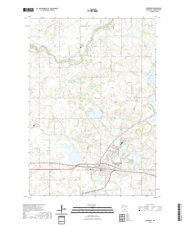
Norwood Young America serves as the primary hub for this portion of Carver County, situated amidst a landscape defined by glacial lakes and agricultural fields. The community is deeply rooted in its local history, evidenced by numerous burial grounds including the Church of the Ascension Catholic Cem and Saint Johns Cem. The northern terrain is shaped by the winding South Fork Crow River and its various tributaries, while the central and southern regions are dotted with prominent water bodies like Baylor Lake, Eagle Lake, and Young America Lake. These lakes, alongside the drainage system of Judicial Ditch Number Five, illustrate the complex relationship between the region's natural wetlands and the development of local farm infrastructure. Small local landmarks like Fox Field and more remote sites such as Ferguson Cem offer specific points of interest for those tracing family lineages or the evolution of rural Minnesota townships.
Find a feature on this map
76 named features on this map. Tap any name to fly to it.
Don’t see what you’re looking for? This feature index may not catch every label — zoom into the map to look around manually.
Map Details
Editions of this 2022 Norwood Map
This is the sole edition of this map. No revisions or reprints were ever made.
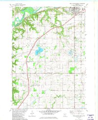
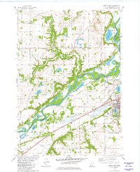
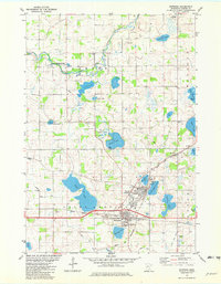
Historical Maps of Camden Township Through Time
6 maps found
Featured Locations
- Norwood Young America, MN
- Benton Township, MN
- Young America Township, MN
- Norwood, Norwood Young America
- Young America, Norwood Young America