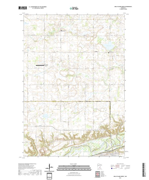
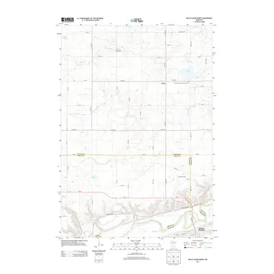
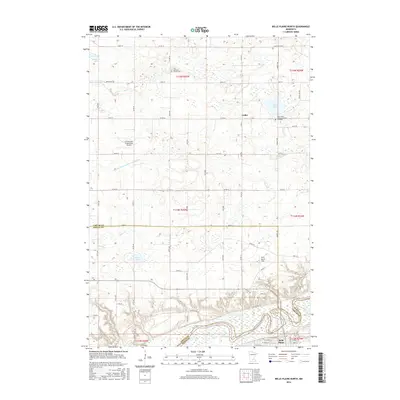
2022 Map of Belle Plaine North
USGS Topo · Published 2022About this map
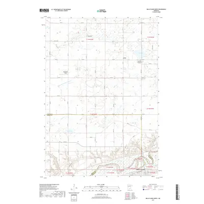
The Minnesota River valley forms the southern border of this landscape, where the city of Belle Plaine sits at the junction of Sibley, Scott, and Carver counties. This modern topographic view details a region defined by its glacial hydrology and agricultural heritage. Numerous water bodies including Maria Lake and Kerry Lake are scattered across the northern sections, while complex drainage systems like Judicial Ditch Number Twentytwo and Bevens Cr reveal the long-standing management of the fertile prairie soils for farming.
Find a feature on this map
72 named features on this map. Tap any name to fly to it.
Don’t see what you’re looking for? This feature index may not catch every label — zoom into the map to look around manually.
Map Details
Editions of this 2022 Belle Plaine North Map
This is the sole edition of this map. No revisions or reprints were ever made.
Historical Maps of Belle Plaine Through Time
18 maps found
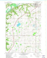
1981 Belle Plaine North
Carver County, MN
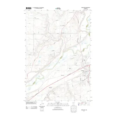
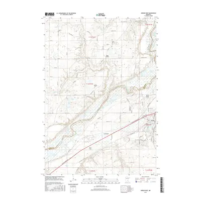
1981 Jordan West
Carver County, MN
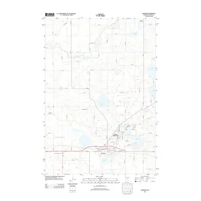
1981 Norwood
Carver County, MN
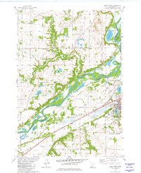
2010 Belle Plaine North
Carver County, MN
2010 Jordan West
Carver County, MN
2010 Norwood
Carver County, MN
2013 Belle Plaine North
Carver County, MN
2013 Jordan West
Carver County, MN
2013 Norwood
Carver County, MN
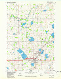
2016 Belle Plaine North
Carver County, MN
2016 Jordan West
Carver County, MN
2016 Norwood
Carver County, MN
2019 Belle Plaine North
Carver County, MN
2019 Jordan West
Carver County, MN
2019 Norwood
Carver County, MN
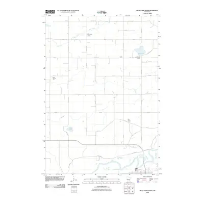
2022 Belle Plaine North
Carver County, MN
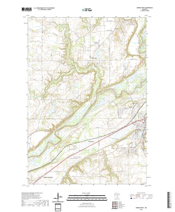
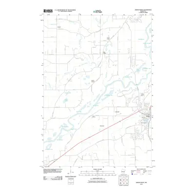
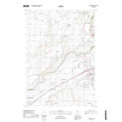
2022 Jordan West
Carver County, MN
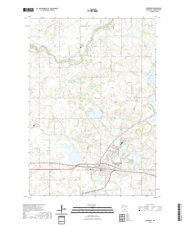
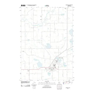
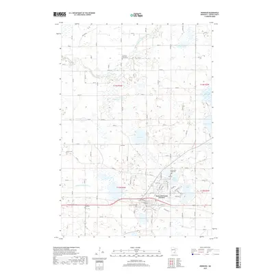
2022 Norwood
Carver County, MN
Featured Locations
- Hancock Township, MN
- San Francisco Township, MN
- Benton Township, MN
- Belle Plaine, MN
- Blakeley Township, MN