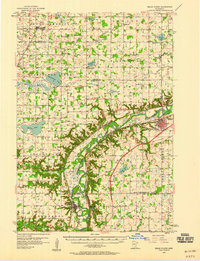
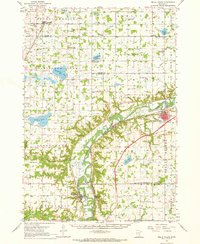
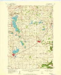
1957 Map of Belle Plaine
USGS Topo · Published 1958About this map
The Minnesota River carves a deep valley through this mid-century landscape, separating the flat agricultural uplands of Carver and Sibley counties from the rolling terrain of Scott and Le Sueur counties. The river corridor is a hub of transport and early settlement, following the tracks of the Chicago North Western and the Chicago St Paul Minneapolis and Omaha railroads. Major towns like Belle Plaine and Henderson are established at strategic points along the valley, while smaller hamlets like Hamburg, Gotha, and Assumption serve the surrounding farmsteads.
Find a feature on this map
66 named features on this map. Tap any name to fly to it.
Don’t see what you’re looking for? This feature index may not catch every label — zoom into the map to look around manually.
Map Details
Editions of this 1957 Belle Plaine Map
2 editions found
Other maps of this area

1905 · Minnetonka
USGS Topo · 1:62,500

1907 · Minnetonka
USGS Topo · 1:62,500

1953 · Saint Paul
USGS Topo · 1:250,000

1953 · New Ulm
USGS Topo · 1:250,000

1957 · New Ulm
USGS Topo · 1:250,000
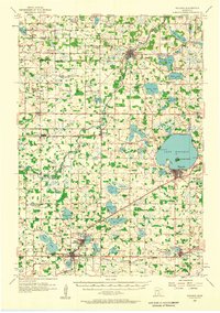
1957 · Waconia
USGS Topo · 1:62,500
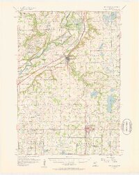
1957 · New Prague
USGS Topo · 1:62,500

1958 · New Ulm
USGS Topo · 1:250,000
1958 · Gaylord
USGS Topo · 1:62,500
1958 · Victoria
USGS Topo · 1:24,000