
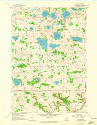
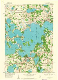
1958 Map of Victoria
USGS Topo · Published 1959About this map
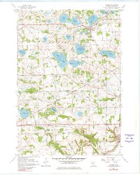
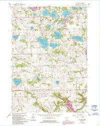
Glacial lakes and small agricultural settlements define the landscape of eastern Carver County in the late 1950s. The village of Victoria is situated among northern waters like Stieger Lake and Lake Auburn, while the southern reaches near the Carver village boundary transition into the rolling drainage of Chaska Creek. Transportation is anchored by two major rail lines: the Minneapolis and St Louis passing through Victoria, and the Chicago Milwaukee St Paul and Pacific serving the rural hubs of Dahlgren and Augusta. This era reflects a pre-suburban Minnesota countryside, where landmarks like School No 106 and Zoar Church served as the primary social anchors for farming families. The map meticulously records numerous named water bodies, including Piersons Lake and Lake Bavaria, alongside scattered Gravel Pits that suggest local industry supporting the region's mid-century road network.
Find a feature on this map
34 named features on this map. Tap any name to fly to it.
Don’t see what you’re looking for? This feature index may not catch every label — zoom into the map to look around manually.
Map Details
Editions of this 1958 Victoria Map
4 editions found
Other maps of this area

1905 · Minnetonka
USGS Topo · 1:62,500

1907 · Minnetonka
USGS Topo · 1:62,500

1953 · Saint Paul
USGS Topo · 1:250,000

1957 · Belle Plaine
USGS Topo · 1:62,500

1957 · Waconia
USGS Topo · 1:62,500

1957 · New Prague
USGS Topo · 1:62,500

1958 · Mound
USGS Topo · 1:24,000

1958 · Lake Minnetonka
USGS Topo · 1:62,500
1958 · Shakopee
USGS Topo · 1:24,000
1958 · Excelsior
USGS Topo · 1:24,000