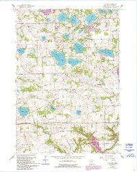
1958 Map of Victoria
USGS Topo · Published 1993About this map
Victoria serves as a focal point in this portion of Carver County, situated amidst a dense network of glacial lakes including Stieger Lake, Lake Auburn, and Schutz Lake. The landscape reflects a transition between mid-century rural life and growing municipal footprints, as evidenced by corporate boundaries for Victoria, Chaska, and Carver. The southern portion of the map transitions into more defined agricultural terrain within Dahlgren and Chaska townships, where School No 106 and the Zoar Ch church stand as markers of established community life. Significant water features like Lake Bavaria and Wassermann Lake dominate the central topography, while the meandering course of Sixmile Creek and Carver Creek provide drainage through the rolling glacial till. This 1958 survey, updated with 1990s revisions, documents the era before the heavy suburban expansion of the Twin Cities reached these outlying townships.
Find a feature on this map
38 named features on this map. Tap any name to fly to it.
Don’t see what you’re looking for? This feature index may not catch every label — zoom into the map to look around manually.
Map Details
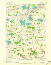
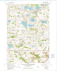
Editions of this 1958 Victoria Map
4 editions found
Other maps of this area

1905 · Minnetonka
USGS Topo · 1:62,500

1907 · Minnetonka
USGS Topo · 1:62,500

1953 · Saint Paul
USGS Topo · 1:250,000

1957 · Belle Plaine
USGS Topo · 1:62,500

1957 · Waconia
USGS Topo · 1:62,500

1957 · New Prague
USGS Topo · 1:62,500

1958 · Victoria
USGS Topo · 1:24,000

1958 · Mound
USGS Topo · 1:24,000

1958 · Lake Minnetonka
USGS Topo · 1:62,500
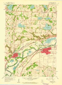
1958 · Shakopee
USGS Topo · 1:24,000