
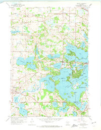
1958 Map of Mound
USGS Topo · Published 1959About this map
The western reaches of Lake Minnetonka dominate this late-1950s landscape, where intricate bays and islands define the local geography. The village of Mound serves as a central hub, situated near Langdon Lake and the various arms of the larger lake system, including Jennings Bay and Cooks Bay. This era shows a transition from rural lakeside retreats to established suburban settlements, supported by the rail lines of the Great Northern and the Minneapolis and St Louis railroads.
Find a feature on this map
73 named features on this map. Tap any name to fly to it.
Don’t see what you’re looking for? This feature index may not catch every label — zoom into the map to look around manually.
Map Details
Editions of this 1958 Mound Map
4 editions found
Other maps of this area

1905 · Minnetonka
USGS Topo · 1:62,500

1907 · Minnetonka
USGS Topo · 1:62,500

1909 · Rockford
USGS Topo · 1:62,500

1953 · Saint Paul
USGS Topo · 1:250,000

1953 · Stillwater
USGS Topo · 1:250,000

1955 · Stillwater
USGS Topo · 1:250,000

1957 · Waconia
USGS Topo · 1:62,500

1958 · Stillwater
USGS Topo · 1:250,000

1958 · Victoria
USGS Topo · 1:24,000

1958 · Rockford
USGS Topo · 1:62,500