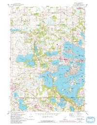
1958 Map of Mound
USGS Topo · Published 1993About this map
Lake Minnetonka dominates the eastern half of this landscape, its intricate shoreline of bays and points defining the development of Mound and Spring Park. The map captures the complex geography of the western lake region, where deep inlets like Halsted Bay and Cooks Bay are separated by prominent landforms such as Phelps Island and Eagle Bluff. The presence of the Luce Line railroad corridor suggests the era's vital transportation links, connecting the lakeside communities to the surrounding agricultural and wooded areas.
Find a feature on this map
80 named features on this map. Tap any name to fly to it.
Don’t see what you’re looking for? This feature index may not catch every label — zoom into the map to look around manually.
Map Details
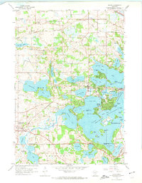
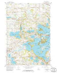
Editions of this 1958 Mound Map
4 editions found

Other maps of this area

1905 · Minnetonka
USGS Topo · 1:62,500

1907 · Minnetonka
USGS Topo · 1:62,500

1909 · Rockford
USGS Topo · 1:62,500

1953 · Saint Paul
USGS Topo · 1:250,000

1953 · Stillwater
USGS Topo · 1:250,000

1955 · Stillwater
USGS Topo · 1:250,000

1957 · Waconia
USGS Topo · 1:62,500

1958 · Stillwater
USGS Topo · 1:250,000

1958 · Victoria
USGS Topo · 1:24,000

1958 · Rockford
USGS Topo · 1:62,500