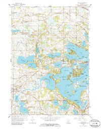
1958 Map of Mound
USGS Topo · Published 1986About this map
Lake Minnetonka and its intricate network of bays and islands dominate this landscape west of Minneapolis. The 1950s shoreline shows a mix of summer camps and growing residential areas, including the waterfront communities of Mound and St Bonifacius. To the south, a Jesuit Seminary sits near the shores of Parley Lake, while the Burlington Northern and Chicago and North Western railroads traverse the northern sections through Lyndale and Independence. Cultural landmarks such as Kingswood Camp and Christmas Tree Camp highlight the area's legacy as a regional retreat. The terrain is a complex glacial puzzle of water and land, featuring numerous smaller bodies like Whaletail Lake and Lake Zumbra alongside family-named points and passes like Zimmermans Pass and Kings Point.
Find a feature on this map
73 named features on this map. Tap any name to fly to it.
Don’t see what you’re looking for? This feature index may not catch every label — zoom into the map to look around manually.
Map Details
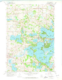
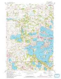
Editions of this 1958 Mound Map
4 editions found

Other maps of this area

1905 · Minnetonka
USGS Topo · 1:62,500

1907 · Minnetonka
USGS Topo · 1:62,500

1909 · Rockford
USGS Topo · 1:62,500

1953 · Saint Paul
USGS Topo · 1:250,000

1953 · Stillwater
USGS Topo · 1:250,000

1955 · Stillwater
USGS Topo · 1:250,000

1957 · Waconia
USGS Topo · 1:62,500

1958 · Stillwater
USGS Topo · 1:250,000

1958 · Victoria
USGS Topo · 1:24,000

1958 · Rockford
USGS Topo · 1:62,500