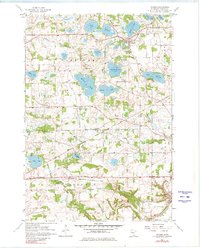
1958 Map of Victoria
USGS Topo · Published 1980About this map
The glacial landscape of Laketown and Dahlgren townships is defined by an intricate network of kettle lakes and drainage creeks. In the late 1950s, the village of Victoria serves as a central point between Auburn Lake, Stieger Lake, and Schutz Lake, while the Chicago and North Western railroad cuts across the northern terrain. This survey captures a rural Carver County in transition, where family-named water bodies like Carl Krey Lake and Wassermann Lake dominate the geography.
Find a feature on this map
34 named features on this map. Tap any name to fly to it.
Don’t see what you’re looking for? This feature index may not catch every label — zoom into the map to look around manually.
Map Details
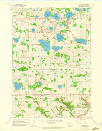
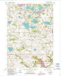
Editions of this 1958 Victoria Map
4 editions found
Other maps of this area

1905 · Minnetonka
USGS Topo · 1:62,500

1907 · Minnetonka
USGS Topo · 1:62,500

1953 · Saint Paul
USGS Topo · 1:250,000

1957 · Belle Plaine
USGS Topo · 1:62,500

1957 · Waconia
USGS Topo · 1:62,500

1957 · New Prague
USGS Topo · 1:62,500

1958 · Victoria
USGS Topo · 1:24,000

1958 · Mound
USGS Topo · 1:24,000

1958 · Lake Minnetonka
USGS Topo · 1:62,500
1958 · Shakopee
USGS Topo · 1:24,000