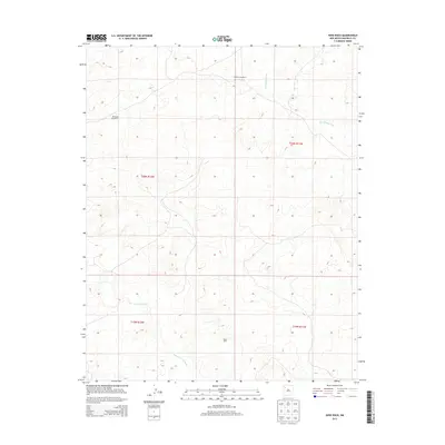
2013 Map of Nose Rock
USGS Topo · Published 2013About this map
Nose Rock stands as a prominent elevation in this high desert landscape, located within the Eastern Navajo Agency. This 2013 survey illustrates a terrain defined by complex drainage systems and isolated landmarks essential for land management and navigation. The northern sector is marked by the seasonal flow of Kin Klizhin Wash, while the southern portion of the quadrangle is traversed by the winding path of Kim-me-ni-oli Wash. The map reflects the sparse but critical infrastructure of the region, specifically identifying water resources such as Windmill Number 5 and Windmill Number 6. These features highlight the importance of water management in a region where geography is shaped by intermittent stream beds and dramatic geological formations.
Find a feature on this map
9 named features on this map. Tap any name to fly to it.
Don’t see what you’re looking for? This feature index may not catch every label — zoom into the map to look around manually.
Map Details
Editions of this 2013 Nose Rock Map
This is the sole edition of this map. No revisions or reprints were ever made.
Other maps of this area

1883 · Mt. Taylor
USGS Topo · 1:250,000

1886 · Wingate
USGS Topo · 1:250,000

1886 · Mt. Taylor
USGS Topo · 1:250,000

1889 · Largo
USGS Topo · 1:250,000

1889 · Chaco
USGS Topo · 1:250,000

1892 · Wingate
USGS Topo · 1:250,000

1892 · Chaco
USGS Topo · 1:250,000

1892 · Mt. Taylor
USGS Topo · 1:250,000

1895 · Largo
USGS Topo · 1:250,000

1899 · Mt. Taylor
USGS Topo · 1:250,000