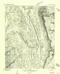
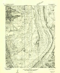
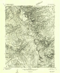
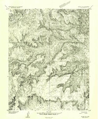
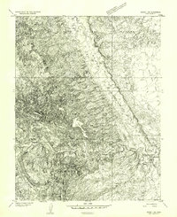
1952 Map of Notom 4 NE
USGS Topo · Published 1954About this map
Notom sits at the edge of a striking landscape where the desert floor meets the rising elevations of Tarp Mesa and Notom Bench. This early 1950s survey details a region defined by its drainage systems, from the course of Pleasant Creek in the northwest to the intricate network of Burro Wash and Cottonwood Wash that carve through the high plateaus. The placement of Tenison Flats and the evocatively named Bloody Hands Gap suggests a geography once navigated by stockmen and early travelers, long before modern infrastructure arrived.
Find a feature on this map
13 named features on this map. Tap any name to fly to it.
Don’t see what you’re looking for? This feature index may not catch every label — zoom into the map to look around manually.
Map Details
Editions of this 1952 Notom 4 NE Map
This is the sole edition of this map. No revisions or reprints were ever made.
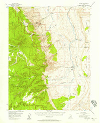
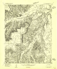
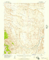
Other maps of this area

1885 · San Rafael
USGS Topo · 1:250,000

1885 · Fish Lake
USGS Topo · 1:250,000

1896 · Fish Lake
USGS Topo · 1:250,000
1952 · Notom 4 SE
USGS Topo · 1:24,000
1952 · Notom 4 NW
USGS Topo · 1:24,000
1952 · Notom 4 SW
USGS Topo · 1:24,000
1952 · Notom 1 SW
USGS Topo · 1:24,000
1952 · Notom
USGS Topo · 1:62,500
1954 · Mt. Ellen 2 SW
USGS Topo · 1:24,000
1954 · Fruita
USGS Topo · 1:62,500