
1952 Map of Notom
USGS Topo · Published 1958About this map
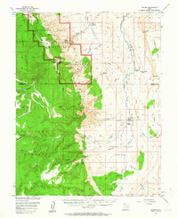
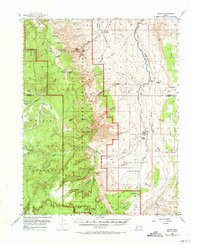
The dramatic geologic transition of the Waterpocket Fold dominates this mid-century survey of south-central Utah. Within the Capitol Reef National Monument, the landscape is defined by massive sandstone formations such as the Golden Throne and Eph Hanks Tower, as well as historical cultural markers like the Pioneer Register and Petroglyphs. The map illustrates a sparse ranching economy where isolated settlements such as Notom, Pleasant Creek Ranch, and Sandy Ranch cling to the perennial waters of Pleasant Creek and Sandy Creek.
Find a feature on this map
79 named features on this map. Tap any name to fly to it.
Don’t see what you’re looking for? This feature index may not catch every label — zoom into the map to look around manually.
Map Details
Editions of this 1952 Notom Map
3 editions found
Other maps of this area

1885 · San Rafael
USGS Topo · 1:250,000

1885 · Fish Lake
USGS Topo · 1:250,000

1886 · Escalante
USGS Topo · 1:250,000

1886 · Henry Mountains
USGS Topo · 1:250,000

1892 · Henry Mountains
USGS Topo · 1:250,000

1896 · Fish Lake
USGS Topo · 1:250,000

1952 · Notom 4 SE
USGS Topo · 1:24,000

1952 · Notom 2 SE
USGS Topo · 1:24,000

1952 · Notom 4 NW
USGS Topo · 1:24,000

1952 · Notom 4 SW
USGS Topo · 1:24,000