Loading...
Loading map...1994 Map of Nucla
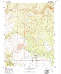
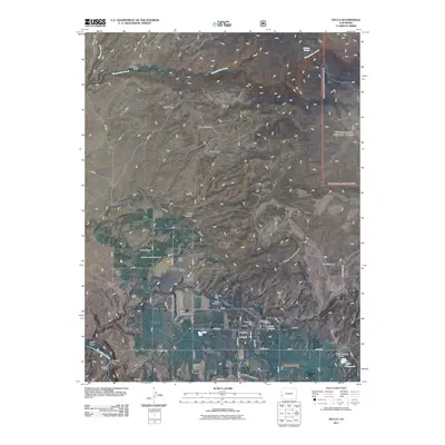
USGS Topo · Published 1994About this map
Nucla sits at the heart of this agricultural and mining landscape in the 1990s, surrounded by a complex network of irrigation infrastructure including the West Lateral, Ditch segments, and various flumes. The town's layout includes the local High Sch, a Mobile Home Park, and the Nucla Cemetery to the north. To the west of the settlement, industrial activity is evident through a large Strip Mine and smaller operations like the Nix Mine and Oberding Mine.
Find a feature on this map
45 named features on this map. Tap any name to fly to it.
Don’t see what you’re looking for? This feature index may not catch every label — zoom into the map to look around manually.
Map Details
Date Portrayed1994
Date Published1994
PublisherU.S. Geological Survey
Map TypeTopographic
Scale1:24,000
Physical Dimensions22.1 x 26.7 inches
Editions of this 1994 Nucla Map
This is the sole edition of this map. No revisions or reprints were ever made.
Historical Maps of Nucla Through Time
9 maps found

Featured Locations
Source Details
SourceU.S. Geological Survey
CopyrightPublic Domain