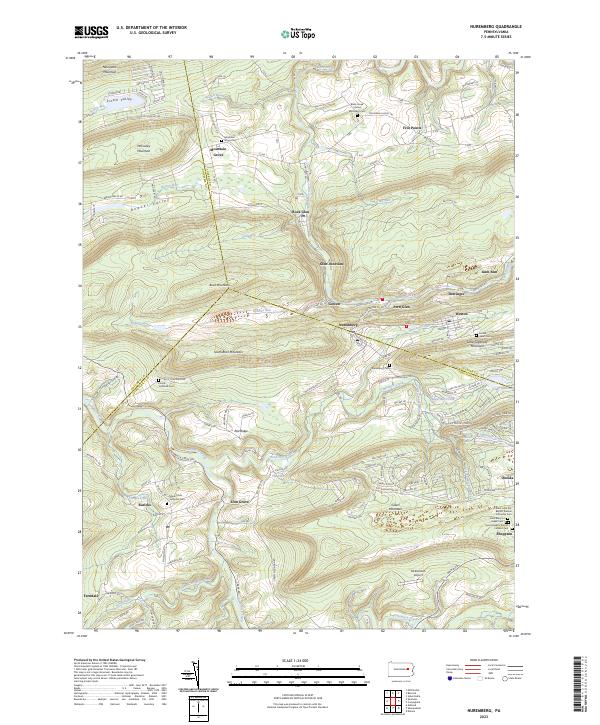
2023 Map of Nuremberg
USGS Topo · Published 2023About this map
Nuremberg and Weston anchor the center of this landscape where the borders of Columbia, Luzerne, and Schuylkill counties converge. The terrain is defined by a series of prominent ridges, including Buck Mountain, Green Mountain, and Nescopeck Mountain, which channel the flow of Black Creek and Tomhicken Creek. These steep elevations historically dictated the settlement patterns of the region, clustering small communities like Gowen, Fern Glen, and Derringer along the lower creek beds and more accessible gaps.
Find a feature on this map
155 named features on this map. Tap any name to fly to it.
Don’t see what you’re looking for? This feature index may not catch every label — zoom into the map to look around manually.
Map Details
Editions of this 2023 Nuremberg Map
This is the sole edition of this map. No revisions or reprints were ever made.
Other maps of this area

1889 · Catawissa
USGS Topo · 1:62,500

1892 · Catawissa
USGS Topo · 1:62,500

1892 · Mahanoy
USGS Topo · 1:62,500

1893 · Mahanoy
USGS Topo · 1:62,500

1894 · Catawissa
USGS Topo · 1:62,500

1894 · Shickshinny
USGS Topo · 1:62,500

1894 · Bloomsburg
USGS Topo · 1:62,500

1946 · Sybertsville
USGS Topo · 1:31,680

1946 · Berwick
USGS Topo · 1:31,680

1947 · Ashland
USGS Topo · 1:24,000
Featured Places
- Beaver Township, PA
- Mifflin Township, PA
- East Union Township, PA
- North Union Township, PA
- Black Creek Township, PA