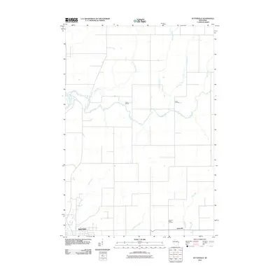
2010 Map of Nutterville
USGS Topo · Published 2010About this map
The Trappe River and its numerous tributaries, including the Little Trappe River and Big Cain Creek, dominate this rural Marathon County landscape northeast of the Wausau city limits. The settlement of Nutterville sits at a crossroads in the southeastern corner, serving as a focal point for the surrounding agricultural area. Local history is anchored by sites such as the Chiber Cemetery and Mechanic Ridge Cemetery, while the presence of Camp Blessing suggests the land's use for recreation and community gathering. The map reveals a highly structured grid of section lines and local roads that cross a complex hydrographic network, including Lentz Creek, Jim Moore Creek, and Prahl Creek, illustrating the intersection of systematic land division with the natural winding paths of the Wisconsin river systems.
Find a feature on this map
13 named features on this map. Tap any name to fly to it.
Don’t see what you’re looking for? This feature index may not catch every label — zoom into the map to look around manually.
Map Details
Editions of this 2010 Nutterville Map
This is the sole edition of this map. No revisions or reprints were ever made.
Other maps of this area

1899 · Wausau
USGS Topo · 1:125,000

1902 · Wausau
USGS Topo · 1:125,000

1951 · Doering
USGS Topo · 1:48,000

1951 · Merrill
USGS Topo · 1:48,000

1953 · Wausau
USGS Topo · 1:48,000

1953 · Hatley
USGS Topo · 1:48,000

1954 · Iron Mountain
USGS Topo · 1:250,000

1955 · Green Bay
USGS Topo · 1:250,000

1959 · Iron Mountain
USGS Topo · 1:250,000

1963 · Wausau West
USGS Topo · 1:24,000