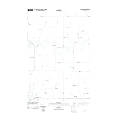
2013 Map of Nutterville
USGS Topo · Published 2013About this map
The Wisconsin River winds along the western edge of this landscape, where the Trappe River and smaller tributaries like Big Cain Cr and Camp Cr create a complex network of waterways feeding into the main channel. The settlement of Nutterville sits in the southeastern portion of the quadrangle, serving as a focal point for the surrounding rural area. This 2013 survey illustrates a transition from the river-dominated topography of the west to the systematic road grid and higher ground characterizing the eastern sections.
Find a feature on this map
37 named features on this map. Tap any name to fly to it.
Don’t see what you’re looking for? This feature index may not catch every label — zoom into the map to look around manually.
Map Details
Editions of this 2013 Nutterville Map
This is the sole edition of this map. No revisions or reprints were ever made.
Other maps of this area

1899 · Wausau
USGS Topo · 1:125,000

1902 · Wausau
USGS Topo · 1:125,000

1951 · Doering
USGS Topo · 1:48,000

1951 · Merrill
USGS Topo · 1:48,000

1953 · Wausau
USGS Topo · 1:48,000

1953 · Hatley
USGS Topo · 1:48,000

1954 · Iron Mountain
USGS Topo · 1:250,000

1955 · Green Bay
USGS Topo · 1:250,000

1959 · Iron Mountain
USGS Topo · 1:250,000

1963 · Wausau West
USGS Topo · 1:24,000