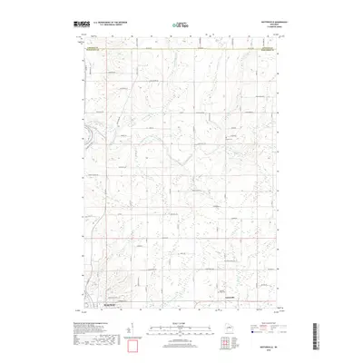
2018 Map of Nutterville
USGS Topo · Published 2018About this map
Nutterville sits at the southern edge of this Marathon County landscape, where the rural road network begins to transition into the northern outskirts of Wausau. The terrain is defined by a dense system of waterways, most notably the Trappe River and Little Trappe River as they flow toward the Wisconsin River along the western boundary. This topography, marked by numerous small tributaries like Little Cain Cr and Jim Moore Cr, historically dictated the placement of homesteads and small family burial grounds away from the floodplains. Genealogists and local historians can locate established landmarks such as the Mechanic Ridge Cem and Chiber Cem, which serve as permanent anchors for the surrounding rural community. The map also records the precise Lincoln Co Marathon Co boundary, following the straight line of Co Line Rd across the northern reaches of the quadrangle.
Find a feature on this map
69 named features on this map. Tap any name to fly to it.
Don’t see what you’re looking for? This feature index may not catch every label — zoom into the map to look around manually.
Map Details
Editions of this 2018 Nutterville Map
This is the sole edition of this map. No revisions or reprints were ever made.
Other maps of this area

1899 · Wausau
USGS Topo · 1:125,000

1902 · Wausau
USGS Topo · 1:125,000

1951 · Doering
USGS Topo · 1:48,000

1951 · Merrill
USGS Topo · 1:48,000

1953 · Wausau
USGS Topo · 1:48,000

1953 · Hatley
USGS Topo · 1:48,000

1954 · Iron Mountain
USGS Topo · 1:250,000

1955 · Green Bay
USGS Topo · 1:250,000

1959 · Iron Mountain
USGS Topo · 1:250,000

1963 · Wausau West
USGS Topo · 1:24,000