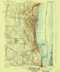
1943 Map of Nyack
USGS Topo · Published 1943About this map
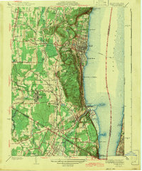
The Hudson River shoreline and the high ridges of the Palisades dominate this 1940s landscape, where riverfront villages like Nyack and Piermont sit between the steep slopes and the wide Tappan Zee. The inland geography of Clarkstown and Orangetown is defined by a dense network of competing rail lines, including the Erie RR and the West Shore RR, which facilitated the development of institutions like the expansive Rockland State Hospital and the Childrens Home.
Find a feature on this map
72 named features on this map. Tap any name to fly to it.
Don’t see what you’re looking for? This feature index may not catch every label — zoom into the map to look around manually.
Map Details
Editions of this 1943 Nyack Map
2 editions found
Other maps of this area

1888 · Paterson
USGS Topo · 1:62,500

1891 · Ramapo
USGS Topo · 1:62,500

1891 · Harlem
USGS Topo · 1:62,500

1892 · Paterson
USGS Topo · 1:62,500

1892 · Tarrytown
USGS Topo · 1:62,500

1893 · Tarrytown
USGS Topo · 1:62,500

1893 · Ramapo
USGS Topo · 1:62,500

1897 · Harlem
USGS Topo · 1:62,500

1898 · Harlem
USGS Topo · 1:62,500

1898 · Paterson
USGS Topo · 1:62,500