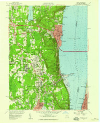
1957 Map of Nyack
USGS Topo · Published 1959About this map
Oak Hill Cemetery and the rising ridge of the Palisades overlook the expansive Tappan Zee in this mid-century portrait of Rockland County. The landscape is in the midst of a major transportation transition, with the newly constructed New York State Thruway and Tappan Zee Bridge cutting across the Hudson River, even as older transit patterns like the Erie RR and New York Central remain visible. Institutional presence is significant here, marked by the massive grounds of the Rockland State Hospital and the Lamont Geological Observatory near the New Jersey border.
Find a feature on this map
93 named features on this map. Tap any name to fly to it.
Don’t see what you’re looking for? This feature index may not catch every label — zoom into the map to look around manually.
Map Details
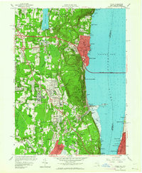
Editions of this 1957 Nyack Map
2 editions found
Other maps of this area

1888 · Paterson
USGS Topo · 1:62,500

1891 · Ramapo
USGS Topo · 1:62,500

1891 · Harlem
USGS Topo · 1:62,500

1892 · Paterson
USGS Topo · 1:62,500

1892 · Tarrytown
USGS Topo · 1:62,500

1893 · Tarrytown
USGS Topo · 1:62,500

1893 · Ramapo
USGS Topo · 1:62,500

1897 · Harlem
USGS Topo · 1:62,500

1898 · Harlem
USGS Topo · 1:62,500

1898 · Paterson
USGS Topo · 1:62,500