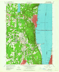
1957 Map of Nyack
USGS Topo · Published 1964About this map
Nyack and the surrounding Rockland County river towns are captured here during a mid-century period of significant infrastructure expansion. The newly constructed Tappan Zee Bridge spans the Hudson River to the east, linking the riverside communities to Westchester County, while the Palisades Interstate Parkway carves through the wooded ridgeline. The landscape reflects a mix of institutional growth and preserved terrain, seen in the expansive grounds of the Rockland State Hospital and the rugged slopes of Hook Mtn within the Palisades Interstate Park.
Find a feature on this map
93 named features on this map. Tap any name to fly to it.
Don’t see what you’re looking for? This feature index may not catch every label — zoom into the map to look around manually.
Map Details
Editions of this 1957 Nyack Map
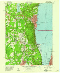
2 editions found
Other maps of this area

1888 · Paterson
USGS Topo · 1:62,500

1891 · Ramapo
USGS Topo · 1:62,500

1891 · Harlem
USGS Topo · 1:62,500

1892 · Paterson
USGS Topo · 1:62,500

1892 · Tarrytown
USGS Topo · 1:62,500

1893 · Tarrytown
USGS Topo · 1:62,500

1893 · Ramapo
USGS Topo · 1:62,500

1897 · Harlem
USGS Topo · 1:62,500

1898 · Harlem
USGS Topo · 1:62,500

1898 · Paterson
USGS Topo · 1:62,500