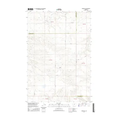
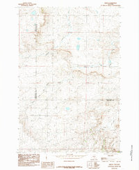
2017 Map of O'Brien Hill
USGS Topo · Published 2017About this map
O'Brien Hill rises as the central topographic landmark in this high-plains landscape where Wheatland, Golden Valley, and Stillwater counties meet. The drainage pattern is defined by several seasonal waterways, including Fish Cr and Rock Cr, which carve through the undulating terrain. This 2017 survey reveals a strictly rural infrastructure dominated by ranch roads and access routes like Rock Creek Rd and S Barber Rd. The grid of the Public Land Survey System remains the primary organizing principle for the region, with the transition between t6n r18e and t5n r18e marking the steady progression of the interior west's land management history. Aside from the occasional track like Windy Ridge Trl, the area remains largely undeveloped, preserving a sparse settlement pattern focused on water sources such as Simmons Cr and Van Winkle Cr.
Find a feature on this map
22 named features on this map. Tap any name to fly to it.
Don’t see what you’re looking for? This feature index may not catch every label — zoom into the map to look around manually.
Map Details
Editions of this 2017 O'Brien Hill Map
This is the sole edition of this map. No revisions or reprints were ever made.
Other maps of this area
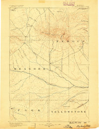
1889 · Big Snowy Mountain
USGS Topo · 1:250,000
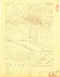
1893 · Big Snowy Mountain
USGS Topo · 1:250,000

1954 · Roundup
USGS Topo · 1:250,000

1958 · Roundup
USGS Topo · 1:250,000
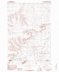
1985 · Locomotive Butte
USGS Topo · 1:24,000
1985 · Locomotive Butte SW
USGS Topo · 1:24,000
1985 · Locomotive Butte SE
USGS Topo · 1:24,000
1985 · Progress
USGS Topo · 1:24,000
1985 · O'Brien Hill
USGS Topo · 1:24,000
1985 · Gibson
USGS Topo · 1:24,000