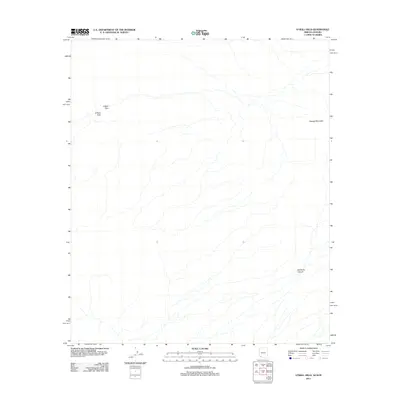
2011 Map of O'Neill Hills
USGS Topo · Published 2011About this map
O'Neill Hills and the surrounding desert landscape are documented here in detail by the USGS using 2010 imagery. This portion of Pima County is defined by its arid drainage patterns and isolated peaks, where the O'Neill Pass provides a natural corridor through the local topography. The map reveals the intricate network of ephemeral washes and desert terrain that characterizes this borderland region.
Find a feature on this map
4 named features on this map. Tap any name to fly to it.
Don’t see what you’re looking for? This feature index may not catch every label — zoom into the map to look around manually.
Map Details
Editions of this 2011 O'Neill Hills Map
This is the sole edition of this map. No revisions or reprints were ever made.
Other maps of this area

1953 · Ajo
USGS Topo · 1:250,000
1954 · Sonoyta
USGS Topo · 1:250,000

1957 · Ajo
USGS Topo · 1:250,000

1958 · Ajo
USGS Topo · 1:250,000

1962 · Ajo
USGS Topo · 1:250,000

1963 · Ajo
USGS Topo · 1:250,000
1963 · Quitobaquito Springs
USGS Topo · 1:62,500
1963 · Lukeville
USGS Topo · 1:250,000
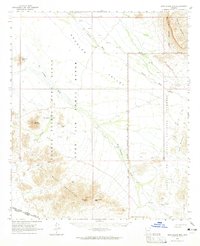
1964 · Agua Dulce Mts
USGS Topo · 1:62,500
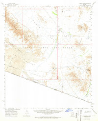
1965 · O'Neill Hills
USGS Topo · 1:62,500