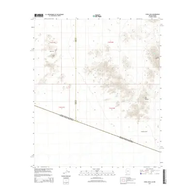
2014 Map of O'Neill Hills
USGS Topo · Published 2014About this map
O'Neills Grave sits as a solitary landmark within the O'Neill Hills, marking a specific point of human history in this remote borderland. The topography is dominated by the sprawling Agua Dulce Mountains to the southeast and the distinctive peak of Papago Mountain rising above the surrounding desert floor. This landscape is defined by its international and administrative boundaries, where the border between the United States of America and Mexico cuts diagonally across the southern terrain. Arid drainages like Papago Wash and the winding Davidson Canyon illustrate the natural flow of water through the hills, while the Yuma and Pima County line establishes a formal division through the western portion of the survey. The presence of O'Neill Pass suggests a historical route through the high ground in an otherwise formidable environment.
Find a feature on this map
13 named features on this map. Tap any name to fly to it.
Don’t see what you’re looking for? This feature index may not catch every label — zoom into the map to look around manually.
Map Details
Editions of this 2014 O'Neill Hills Map
This is the sole edition of this map. No revisions or reprints were ever made.
Other maps of this area

1953 · Ajo
USGS Topo · 1:250,000
1954 · Sonoyta
USGS Topo · 1:250,000

1957 · Ajo
USGS Topo · 1:250,000

1958 · Ajo
USGS Topo · 1:250,000

1962 · Ajo
USGS Topo · 1:250,000

1963 · Ajo
USGS Topo · 1:250,000
1963 · Quitobaquito Springs
USGS Topo · 1:62,500
1963 · Lukeville
USGS Topo · 1:250,000
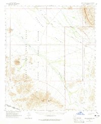
1964 · Agua Dulce Mts
USGS Topo · 1:62,500
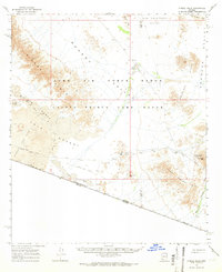
1965 · O'Neill Hills
USGS Topo · 1:62,500