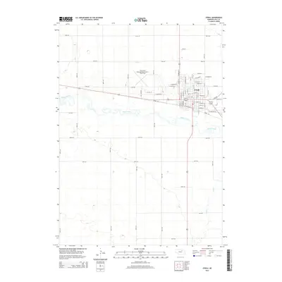
2014 Map of O'Neill
USGS Topo · Published 2014About this map
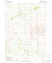
O'Neill's Irish heritage is written directly into its street names in this 2014 survey of Holt County. The town layout features thoroughfares like E Shamrock St, E Kildare Dr, and E Tipperary St, reflecting the cultural identity of this Nebraska settlement. To the west of the residential core, aviation infrastructure is represented by The O'Neill Municipal Airport-John L Baker Field. The natural landscape is dominated by the meandering Elkhorn River, which flows just south of the city, while Dry Cr drains the agricultural lands to the southeast. Transportation through the area is anchored by the Cowboy Trl, a notable conversion of former rail right-of-way that skirts the southern edge of the town center, and Sale Barn Rd providing access to local agricultural commerce.
Find a feature on this map
61 named features on this map. Tap any name to fly to it.
Don’t see what you’re looking for? This feature index may not catch every label — zoom into the map to look around manually.
Map Details
Editions of this 2014 O'Neill Map
This is the sole edition of this map. No revisions or reprints were ever made.
Other maps of this area
1954 · Atkinson SE
USGS Topo · 1:24,000
1954 · Opportunity
USGS Topo · 1:24,000
1954 · Meek SW
USGS Topo · 1:24,000

1955 · O'Neill
USGS Topo · 1:250,000
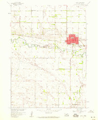
1958 · O'Neill
USGS Topo · 1:24,000
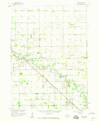
1958 · Inman
USGS Topo · 1:24,000

1959 · O'Neill
USGS Topo · 1:250,000
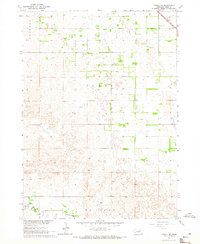
1964 · O'Neill SE
USGS Topo · 1:24,000
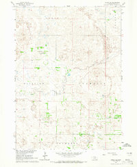
1964 · Emmet SE
USGS Topo · 1:24,000
1964 · O'Neill SW
USGS Topo · 1:24,000