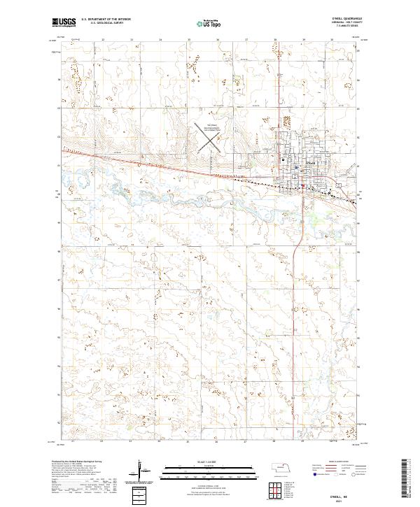
2021 Map of O'Neill
USGS Topo · Published 2021About this map
The northern Nebraska prairie around O'Neill is defined by the steady eastward flow of the Elkhorn River, which carves a wide, low valley through the landscape. This modern survey illustrates the town’s role as a regional hub, anchored by the Holt County Courthouse and a grid of residential streets with names like E Donegal St and E Kildare Dr, hinting at the area's Irish heritage. South of the river, the terrain remains largely open, marked only by drainage lines like Dry Cr and a rigid network of section roads.
Find a feature on this map
37 named features on this map. Tap any name to fly to it.
Don’t see what you’re looking for? This feature index may not catch every label — zoom into the map to look around manually.
Map Details
Editions of this 2021 O'Neill Map
This is the sole edition of this map. No revisions or reprints were ever made.
Other maps of this area

1954 · Atkinson SE
USGS Topo · 1:24,000

1954 · Opportunity
USGS Topo · 1:24,000

1954 · Meek SW
USGS Topo · 1:24,000

1955 · O'Neill
USGS Topo · 1:250,000

1958 · O'Neill
USGS Topo · 1:24,000

1958 · Inman
USGS Topo · 1:24,000

1959 · O'Neill
USGS Topo · 1:250,000

1964 · O'Neill SE
USGS Topo · 1:24,000

1964 · Emmet SE
USGS Topo · 1:24,000

1964 · O'Neill SW
USGS Topo · 1:24,000