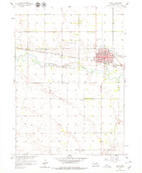
1958 Map of O'Neill
USGS Topo · Published 1979About this map
O'Neill serves as the focal point of this Holt County landscape, situated at the crossroads of major rail lines and road networks during the late 1950s. The town's grid is clearly defined by streets such as Adams St and Fremont St, while its medical and social infrastructure is marked by a local Hospital and a Drive-in Theater on the outskirts. The Elkhorn River meanders across the central portion of the map, carving a path through the township of Grattan.
Find a feature on this map
25 named features on this map. Tap any name to fly to it.
Don’t see what you’re looking for? This feature index may not catch every label — zoom into the map to look around manually.
Map Details
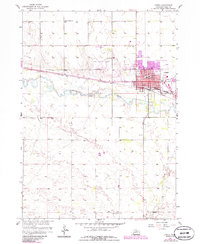
Editions of this 1958 O'Neill Map
3 editions found
Other maps of this area

1954 · Atkinson SE
USGS Topo · 1:24,000

1954 · Opportunity
USGS Topo · 1:24,000

1954 · Meek SW
USGS Topo · 1:24,000

1955 · O'Neill
USGS Topo · 1:250,000

1958 · O'Neill
USGS Topo · 1:24,000

1958 · Inman
USGS Topo · 1:24,000

1959 · O'Neill
USGS Topo · 1:250,000

1964 · O'Neill SE
USGS Topo · 1:24,000

1964 · Emmet SE
USGS Topo · 1:24,000

1964 · O'Neill SW
USGS Topo · 1:24,000