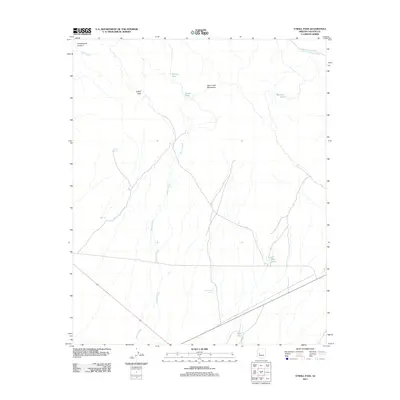
2011 Map of O'Neill Pass
USGS Topo · Published 2011About this map
O'Neil Pass serves as a central landmark in this portion of Yavapai County, where the high ridges of the Date Creek Mountains meet the drainage systems of the arid Southwest. The landscape is defined by its water management history, shown through a series of livestock or catchment basins including Henderson Tank, Phils Tank, and Barnett Tank. These named features, along with Longort Spring, illustrate the vital importance of scattered water sources in a region characterized by ephemeral flows like Martin Creek and Date Creek.
Find a feature on this map
14 named features on this map. Tap any name to fly to it.
Don’t see what you’re looking for? This feature index may not catch every label — zoom into the map to look around manually.
Map Details
Editions of this 2011 O'Neill Pass Map
This is the sole edition of this map. No revisions or reprints were ever made.
Other maps of this area
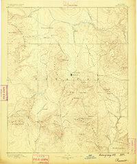
1887 · Prescott
USGS Topo · 1:250,000
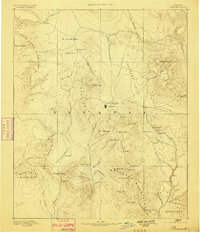
1892 · Prescott
USGS Topo · 1:250,000
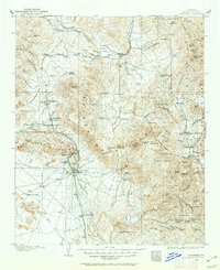
1903 · Congress
USGS Topo · 1:125,000
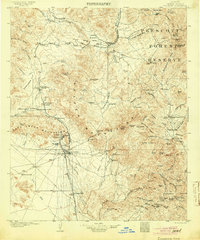
1904 · Congress
USGS Topo · 1:125,000
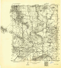
1923 · Signal
USGS Topo · 1:250,000
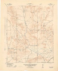
1942 · Signal
USGS Topo · 1:250,000
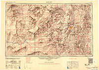
1950 · Prescott
USGS Topo · 1:250,000
1954 · Prescott
USGS Topo · 1:250,000
1958 · Prescott
USGS Topo · 1:250,000
1959 · Prescott
USGS Topo · 1:250,000