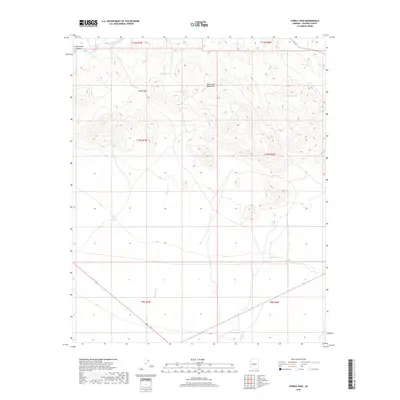
2018 Map of O'Neill Pass
USGS Topo · Published 2018About this map
O'Neill Pass sits at the heart of this high-desert landscape in Yavapai County, where the Date Creek Mountains dominate the horizon. This 2018 survey documents a remote ranching and transit corridor, defined by seasonal water sources and rugged drainages. The mapping of artificial catchments such as Nelson Tank, Barnett Tank, and Spring Tank indicates the vital importance of water management for livestock in this arid environment. The northern reaches are carved by the Date Creek and its southern fork, while the western edge is defined by the steep relief of Cottonwood Canyon. Transport is largely limited to unpaved routes like Hillside Rd, which skirts the northeastern corner. This map provides a precise look at the township and range grid system (T11N, T10N, T9N) as it overlays the natural topography of Martin Cr and the intermittent Longort Spring.
Find a feature on this map
20 named features on this map. Tap any name to fly to it.
Don’t see what you’re looking for? This feature index may not catch every label — zoom into the map to look around manually.
Map Details
Editions of this 2018 O'Neill Pass Map
This is the sole edition of this map. No revisions or reprints were ever made.
Other maps of this area
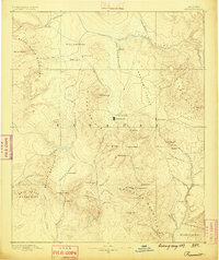
1887 · Prescott
USGS Topo · 1:250,000
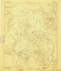
1892 · Prescott
USGS Topo · 1:250,000
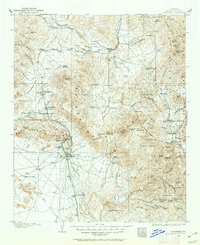
1903 · Congress
USGS Topo · 1:125,000
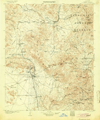
1904 · Congress
USGS Topo · 1:125,000
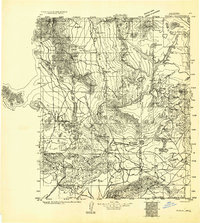
1923 · Signal
USGS Topo · 1:250,000
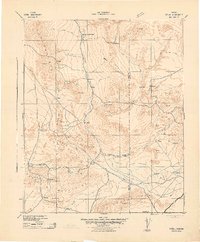
1942 · Signal
USGS Topo · 1:250,000
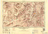
1950 · Prescott
USGS Topo · 1:250,000
1954 · Prescott
USGS Topo · 1:250,000
1958 · Prescott
USGS Topo · 1:250,000
1959 · Prescott
USGS Topo · 1:250,000