Loading...
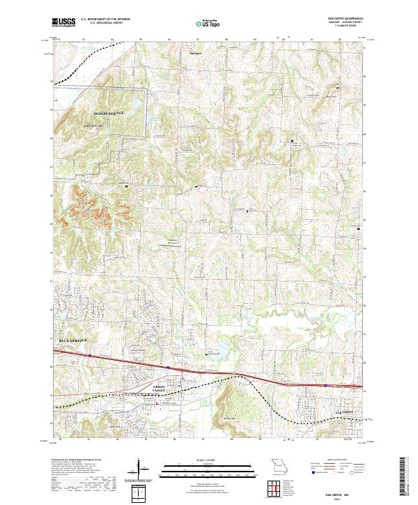
Loading map...2021 Map of Oak Grove
USGS Topo · Published 2021About this map
Grain Valley and Oak Grove serve as the primary hubs in this part of Jackson County, where the transition from dense residential development to open farmland is clearly visible. The landscape is defined by the winding course of Sni-A-Bar Creek and its tributaries like Swiney Branch and Blue Branch, which cut through the terrain near landmarks such as Monkey Mountain and Minter Hill.
Find a feature on this map
176 named features on this map. Tap any name to fly to it.
Don’t see what you’re looking for? This feature index may not catch every label — zoom into the map to look around manually.
Map Details
Date Portrayed2021
Date Published2021
PublisherU.S. Geological Survey
Map TypeTopographic
Scale1:24000
Physical Dimensions24 x 29 inches
Editions of this 2021 Oak Grove Map
This is the sole edition of this map. No revisions or reprints were ever made.
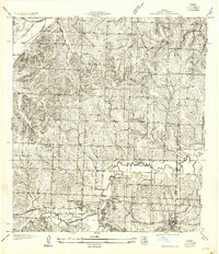
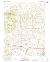
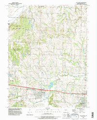
Historical Maps of Independence Through Time
4 maps found
Featured Locations
Source Details
SourceU.S. Geological Survey
CopyrightPublic Domain