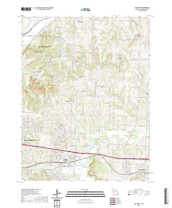
1990 Map of Oak Grove
USGS Topo · Published 1995About this map
The Lake City Army Ammunition Plant dominates the northwestern corner of this Jackson County landscape, representing a significant military industrial footprint just outside the growing suburban corridors. To the south, the transition from rural acreage to aviation use is marked by the East Kansas City Airport and the expanding residential footprints of Grain Valley and Oak Grove. The map preserves numerous small family and community burial grounds, including the Chiddix Cem and Green Chapel Cem, which offer vital clues for genealogists researching early regional settlers. Waterways like Sni-A-Bar Creek and its tributaries, such as Swinney Branch, carve through the terrain, defining the natural boundaries between farms and modern developments. Large recreational spaces like Monkey Mountain County Park and William L Landahl County Park provide a counterpoint to the industrial and residential growth of the late twentieth century.
Find a feature on this map
30 named features on this map. Tap any name to fly to it.
Don’t see what you’re looking for? This feature index may not catch every label — zoom into the map to look around manually.
Map Details
Editions of this 1990 Oak Grove Map
This is the sole edition of this map. No revisions or reprints were ever made.
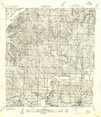
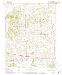
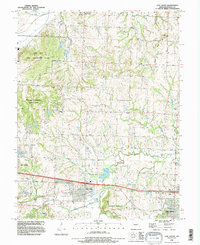
Historical Maps of Independence Through Time
4 maps found