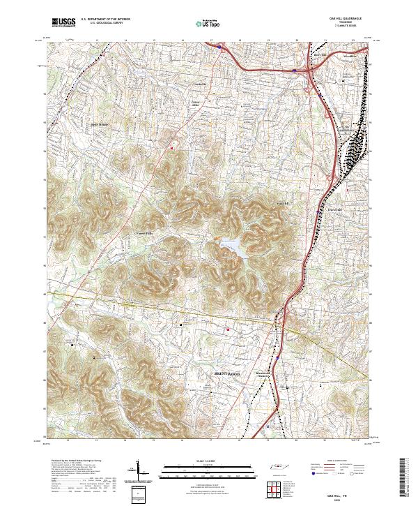
2022 Map of Oak Hill
USGS Topo · Published 2022About this map
Brentwood and the southern reaches of Nashville anchor this map of a rapidly developing Tennessee corridor where historic landmarks remain embedded in the modern landscape. The boundary between Davidson Co and Williamson Co cuts across the map near Atchinsons Gap, separating the residential enclaves of Oak Hill and Forest Hills from the growing business districts around Maryland Way. The terrain is defined by the high ground of Ganier Ridge Trl overlooking Radnor Lake, and the drainage basins of Richland Creek and the Little Harpeth River.
Find a feature on this map
59 named features on this map. Tap any name to fly to it.
Don’t see what you’re looking for? This feature index may not catch every label — zoom into the map to look around manually.
Map Details
Editions of this 2022 Oak Hill Map
This is the sole edition of this map. No revisions or reprints were ever made.
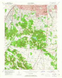
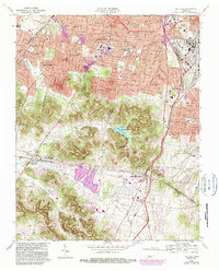
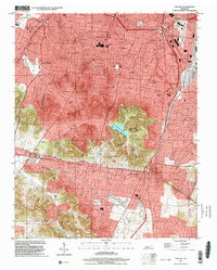
Historical Maps of Nashville Through Time
4 maps found