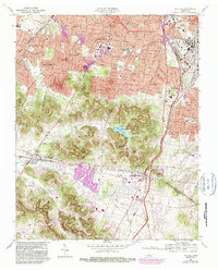
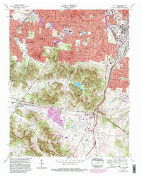
1968 Map of Oak Hill
USGS Topo · Published 1989About this map
Radnor Lake State Natural and Wildlife Refuge centers this landscape, surrounded by the suburban development of south Nashville and its satellite communities. The terrain moves from the developed residential corridors of Berry Hill and Woodbine in the north to the rolling wooded areas of Forest Hills and Oak Hill. Institutional landmarks are prominent, including the Vanderbilt University Observatory and the Governors Mansion, reflecting the region's historical and political importance. The Seaboard Coast Line railroad runs along the eastern edge, a vital transit link near Woodlawn Cemetery. To the south, the Little Harpeth River snakes through the valley, marking the transition toward Brentwood and the Williamson County line, where educational sites like Robertson Academy and David Lipscomb College anchor the community fabric.
Find a feature on this map
48 named features on this map. Tap any name to fly to it.
Don’t see what you’re looking for? This feature index may not catch every label — zoom into the map to look around manually.
Map Details
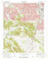
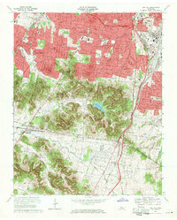
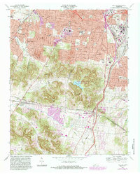
Editions of this 1968 Oak Hill Map
5 editions found
Other maps of this area

1903 · Nashville
USGS Topo · 1:125,000

1909 · Franklin
USGS Topo · 1:62,500

1932 · Hermitage
USGS Topo · 1:62,500

1932 · Nashville
USGS Topo · 1:62,500

1942 · Lebanon
USGS Topo · 1:100,000

1946 · Leipers Fork
USGS Topo · 1:24,000

1949 · Leipers Fork
USGS Topo · 1:24,000

1949 · Franklin
USGS Topo · 1:24,000

1952 · Nashville West
USGS Topo · 1:24,000

1952 · Nashville East
USGS Topo · 1:24,000