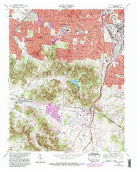
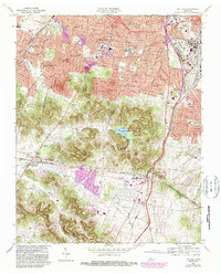
1968 Map of Oak Hill
USGS Topo · Published 1989About this map
Radnor Lake and the surrounding State Natural and Wildlife Refuge anchor the center of this landscape, illustrating the intentional preservation of green space as the southern suburbs of Nashville expanded. The map documents the high concentration of educational and civic institutions that define this corridor, from the Vanderbilt University Observatory and David Lipscomb College to the Governors Mansion.
Find a feature on this map
46 named features on this map. Tap any name to fly to it.
Don’t see what you’re looking for? This feature index may not catch every label — zoom into the map to look around manually.
Map Details
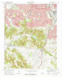
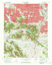
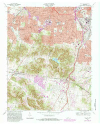
Editions of this 1968 Oak Hill Map
5 editions found
Other maps of this area

1903 · Nashville
USGS Topo · 1:125,000

1909 · Franklin
USGS Topo · 1:62,500

1932 · Hermitage
USGS Topo · 1:62,500

1932 · Nashville
USGS Topo · 1:62,500

1942 · Lebanon
USGS Topo · 1:100,000

1946 · Leipers Fork
USGS Topo · 1:24,000

1949 · Leipers Fork
USGS Topo · 1:24,000

1949 · Franklin
USGS Topo · 1:24,000

1952 · Nashville West
USGS Topo · 1:24,000

1952 · Nashville East
USGS Topo · 1:24,000