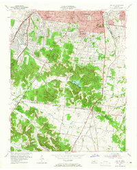
1953 Map of Oak Hill
USGS Topo · Published 1965About this map
Oak Hill and its surrounding residential enclaves south of Nashville appear here in a period of significant suburban development. The landscape is defined by the ridge-and-valley transition between the city and the rural Davidson Co Williamson Co line, where institutional landmarks like David Lipscomb College and Harpeth Hall anchor established neighborhoods. Higher elevations are marked by the Vanderbilt University Observatory and the Governors Mansion, overlooking the wooded slopes near Radnor Lake.
Find a feature on this map
56 named features on this map. Tap any name to fly to it.
Don’t see what you’re looking for? This feature index may not catch every label — zoom into the map to look around manually.
Map Details
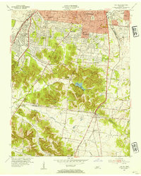
Editions of this 1953 Oak Hill Map
2 editions found
Other maps of this area

1903 · Nashville
USGS Topo · 1:125,000

1909 · Franklin
USGS Topo · 1:62,500

1932 · Hermitage
USGS Topo · 1:62,500

1932 · Nashville
USGS Topo · 1:62,500

1942 · Lebanon
USGS Topo · 1:100,000

1946 · Leipers Fork
USGS Topo · 1:24,000

1949 · Leipers Fork
USGS Topo · 1:24,000

1949 · Franklin
USGS Topo · 1:24,000

1952 · Nashville West
USGS Topo · 1:24,000

1952 · Nashville East
USGS Topo · 1:24,000