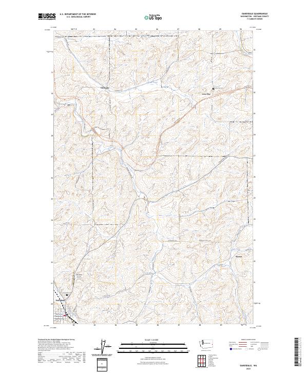
2023 Map of Oakesdale
USGS Topo · Published 2023About this map
Oakesdale anchor the southern portion of this modern survey, where the town grid meets the rolling terrain of the Palouse. The landscape is defined by its agricultural drainage systems, including McCoy Creek and Pine Creek, which wind through a network of sections partitioned by rural thoroughfares like Pittmann Rd and Fanning Rd. Smaller historic locales such as Lone Pine, Fairbanks, and Warner appear along the drainage basins of Cabbage Creek and Willow Creek, reflecting the distributed nature of early wheat-country settlements.
Find a feature on this map
43 named features on this map. Tap any name to fly to it.
Don’t see what you’re looking for? This feature index may not catch every label — zoom into the map to look around manually.
Map Details
Editions of this 2023 Oakesdale Map
This is the sole edition of this map. No revisions or reprints were ever made.
Historical Maps of Whitman County Through Time
4 maps found