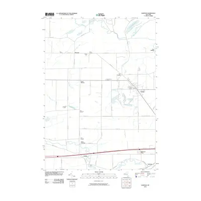
2010 Map of Oakfield
USGS Topo · Published 2010About this map
Oakfield serves as the primary hub of this Genesee County landscape, where the grid of early twentieth-century agriculture meets a network of established family and community landmarks. The area is notable for its numerous burial grounds, including the Saint Cecilia's Catholic Cemetery and Cary Cemetery, which provide vital touchstones for local genealogy. To the west, the rural character is defined by the flow of Brinningstool Creek and the notable Limestone Ledge terrain.
Find a feature on this map
61 named features on this map. Tap any name to fly to it.
Don’t see what you’re looking for? This feature index may not catch every label — zoom into the map to look around manually.
Map Details
Editions of this 2010 Oakfield Map
This is the sole edition of this map. No revisions or reprints were ever made.
Other maps of this area
1897 · Albion
USGS Topo · 1:62,500
1897 · Medina
USGS Topo · 1:62,500
1904 · Batavia
USGS Topo · 1:62,500
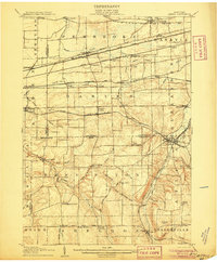
1905 · Attica
USGS Topo · 1:62,500
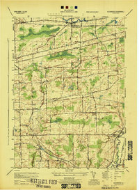
1944 · Alexander
USGS Topo · 1:31,680
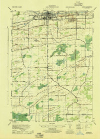
1944 · Albion
USGS Topo · 1:31,680
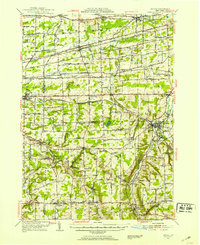
1949 · Attica
USGS Topo · 1:62,500
1949 · Alexander
USGS Topo · 1:24,000
1949 · Akron
USGS Topo · 1:24,000
1949 · Medina
USGS Topo · 1:24,000