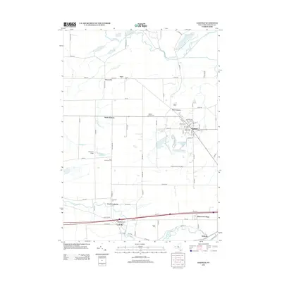
2013 Map of Oakfield
USGS Topo · Published 2013About this map
Oakfield serves as the primary hub in this Western New York landscape, where the village grid is defined by streets such as N Pearl St and Garibaldi Ave. The surrounding rural character is marked by a high density of local history markers, particularly family and community burial grounds like Cary Cem and the Stone Schoolhouse Cem. Agriculture remains central to the region's identity, evidenced by large operations such as Lamb Farms and Del Mar Farms.
Find a feature on this map
80 named features on this map. Tap any name to fly to it.
Don’t see what you’re looking for? This feature index may not catch every label — zoom into the map to look around manually.
Map Details
Editions of this 2013 Oakfield Map
This is the sole edition of this map. No revisions or reprints were ever made.
Other maps of this area

1897 · Albion
USGS Topo · 1:62,500

1897 · Medina
USGS Topo · 1:62,500

1904 · Batavia
USGS Topo · 1:62,500

1905 · Attica
USGS Topo · 1:62,500

1944 · Alexander
USGS Topo · 1:31,680

1944 · Albion
USGS Topo · 1:31,680

1949 · Attica
USGS Topo · 1:62,500

1949 · Alexander
USGS Topo · 1:24,000
1949 · Akron
USGS Topo · 1:24,000
1949 · Medina
USGS Topo · 1:24,000