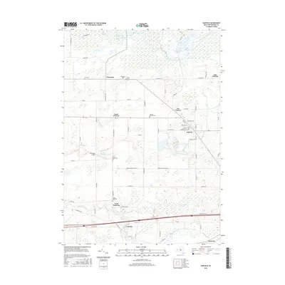
2016 Map of Oakfield
USGS Topo · Published 2016About this map
Oakfield serves as the primary hub in this Genesee County landscape, where the local economy is shaped by the transition from fertile farmland to the sprawling wetlands of the north. The map documents an intricate network of drainage and conservation, highlighted by the Oak Orchard Swamp and Galloway Swamp, which dominate the northern and eastern reaches. These marshlands, including Schmidt Marsh and the Lower Stafford Marsh, are historically significant for their role in regional water management and wildlife habitat.
Find a feature on this map
75 named features on this map. Tap any name to fly to it.
Don’t see what you’re looking for? This feature index may not catch every label — zoom into the map to look around manually.
Map Details
Editions of this 2016 Oakfield Map
This is the sole edition of this map. No revisions or reprints were ever made.
Other maps of this area
1897 · Albion
USGS Topo · 1:62,500
1897 · Medina
USGS Topo · 1:62,500
1904 · Batavia
USGS Topo · 1:62,500
1905 · Attica
USGS Topo · 1:62,500
1944 · Alexander
USGS Topo · 1:31,680
1944 · Albion
USGS Topo · 1:31,680
1949 · Attica
USGS Topo · 1:62,500
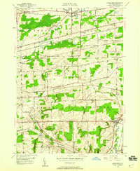
1949 · Alexander
USGS Topo · 1:24,000
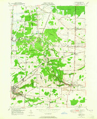
1949 · Akron
USGS Topo · 1:24,000
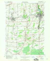
1949 · Medina
USGS Topo · 1:24,000