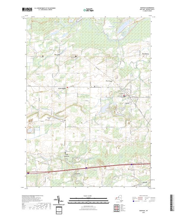
2023 Map of Oakfield
USGS Topo · Published 2023About this map
The village of Oakfield serves as the focal point of this Genesee County landscape, where the street grid intersects near the Saint Cecilia Cem and Cary Cem. The terrain to the north is defined by the vast Oak Orchard Swamp and the meandering path of Oak Orchard Creek, creating a distinct boundary between the settled uplands and the marshy lowlands. This area includes several smaller marshes like Lower Stafford Marsh and Schmidt Marsh, suggesting a complex hydrologic system that has historically influenced local road placement and land use.
Find a feature on this map
82 named features on this map. Tap any name to fly to it.
Don’t see what you’re looking for? This feature index may not catch every label — zoom into the map to look around manually.
Map Details
Editions of this 2023 Oakfield Map
This is the sole edition of this map. No revisions or reprints were ever made.
Other maps of this area

1897 · Albion
USGS Topo · 1:62,500

1897 · Medina
USGS Topo · 1:62,500

1904 · Batavia
USGS Topo · 1:62,500

1905 · Attica
USGS Topo · 1:62,500

1944 · Alexander
USGS Topo · 1:31,680

1944 · Albion
USGS Topo · 1:31,680

1949 · Attica
USGS Topo · 1:62,500

1949 · Alexander
USGS Topo · 1:24,000
1949 · Akron
USGS Topo · 1:24,000
1949 · Medina
USGS Topo · 1:24,000