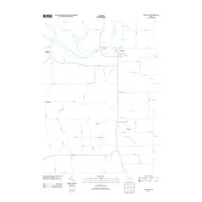
2013 Map of Oakville
USGS Topo · Published 2013About this map
Oakville serves as the primary hub in this corner of Louisa County, situated just east of the winding Iowa River. The landscape is defined by an extensive network of drainage and water management systems, including the Hawkeye-Dolbee Diversion Channel, County Line Ditch, and Barlow Lake Drain, which facilitate agriculture across the bottomlands. These managed waterways intersect with natural features like Dead Slough and Sunfish Lake, illustrating the ongoing effort to balance the river's flood patterns with local farming needs.
Find a feature on this map
47 named features on this map. Tap any name to fly to it.
Don’t see what you’re looking for? This feature index may not catch every label — zoom into the map to look around manually.
Map Details
Editions of this 2013 Oakville Map
This is the sole edition of this map. No revisions or reprints were ever made.
Other maps of this area
1934 · Oquawka
USGS Topo · 1:48,000
1934 · Burlington
USGS Topo · 1:48,000
1935 · Keithsburg
USGS Topo · 1:48,000
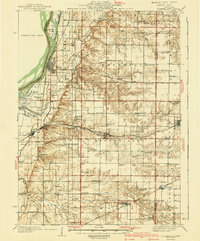
1940 · Oquawka
USGS Topo · 1:62,500
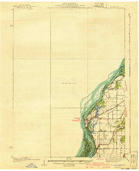
1940 · Burlington
USGS Topo · 1:62,500
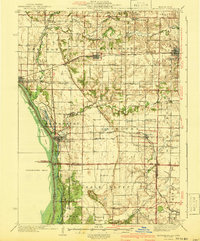
1941 · Keithsburg
USGS Topo · 1:62,500
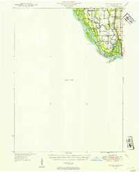
1946 · Wapello
USGS Topo · 1:62,500
1949 · Wapello
USGS Topo · 1:62,500
1953 · Toolesboro
USGS Topo · 1:24,000
1953 · Joy
USGS Topo · 1:24,000