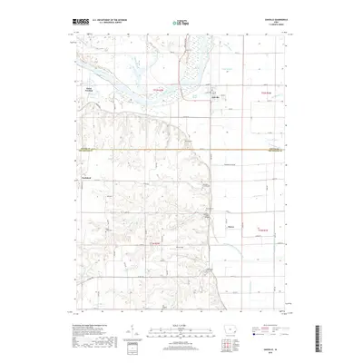
2018 Map of Oakville
USGS Topo · Published 2018About this map
The Iowa River meanders across a landscape defined by complex water management and rural settlement patterns at the border of Louisa and Des Moines counties. High ground in the west, home to Northfield and cemeteries like Round Prairie Cem, transitions into a low-lying alluvial plain dominated by an intricate network of sloughs and man-made drainage. Oakville serves as the primary hub near the confluence of Dead Slough and the Iowa River, while smaller nodes like Elrick Junction and Huron mark the historical distribution of river-valley communities.
Find a feature on this map
52 named features on this map. Tap any name to fly to it.
Don’t see what you’re looking for? This feature index may not catch every label — zoom into the map to look around manually.
Map Details
Editions of this 2018 Oakville Map
This is the sole edition of this map. No revisions or reprints were ever made.
Other maps of this area
1934 · Oquawka
USGS Topo · 1:48,000
1934 · Burlington
USGS Topo · 1:48,000
1935 · Keithsburg
USGS Topo · 1:48,000
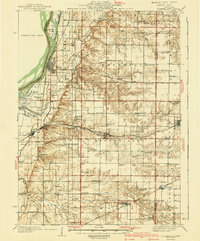
1940 · Oquawka
USGS Topo · 1:62,500
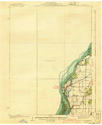
1940 · Burlington
USGS Topo · 1:62,500
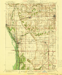
1941 · Keithsburg
USGS Topo · 1:62,500
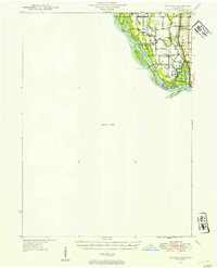
1946 · Wapello
USGS Topo · 1:62,500
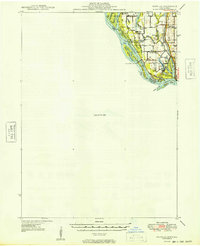
1949 · Wapello
USGS Topo · 1:62,500
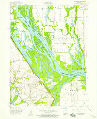
1953 · Toolesboro
USGS Topo · 1:24,000
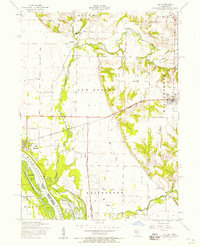
1953 · Joy
USGS Topo · 1:24,000