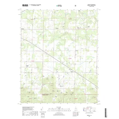
2018 Map of Oakville
USGS Topo · Published 2018About this map
William B Bankhead National Forest occupies the southern portion of this landscape, characterized by numerous summits and ridges such as Brushy Mtn, Mull Mtn, and Chestnut Ridge. The northern terrain transitions into a more settled agricultural pattern around Moulton, Fairfield, and Oakville. Water sources are abundant, with the West Flint Creek and W Flint Cr drainage systems carving through valleys like Sugar Camp Hollow and Washspring Hollow.
Find a feature on this map
130 named features on this map. Tap any name to fly to it.
Don’t see what you’re looking for? This feature index may not catch every label — zoom into the map to look around manually.
Map Details
Editions of this 2018 Oakville Map
This is the sole edition of this map. No revisions or reprints were ever made.
Other maps of this area
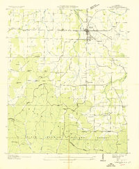
1935 · Moulton
USGS Topo · 1:24,000
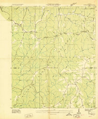
1935 · Upshaw
USGS Topo · 1:24,000
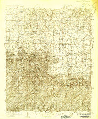
1935 · Danville
USGS Topo · 1:48,000
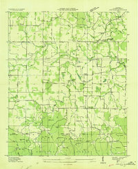
1935 · Oakville
USGS Topo · 1:24,000
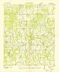
1936 · Caddo
USGS Topo · 1:24,000
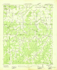
1936 · Mc Kendry
USGS Topo · 1:24,000
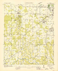
1936 · Trinity
USGS Topo · 1:24,000
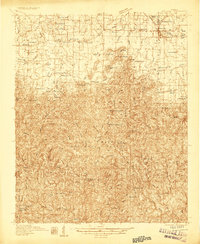
1936 · Moulton
USGS Topo · 1:48,000
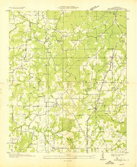
1936 · Masterson
USGS Topo · 1:24,000
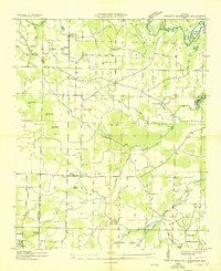
1936 · Stroups Crossroads
USGS Topo · 1:24,000