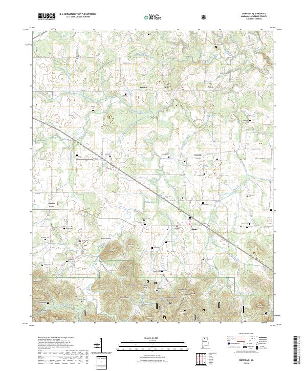
2024 Map of Oakville
USGS Topo · Published 2024About this map
The William B. Bankhead National Forest occupies the southern reaches of this landscape, where the terrain shifts from the agricultural plains of the north into the ridges and hollows of the Cumberland Plateau. This transition is marked by notable elevations such as Mull Mtn, Brushy Mtn, and Millfield Mtn, separated by deep cuts like Porter Hollow and Buzzard Cove. The area is rich in family history, evidenced by the dense distribution of small burial grounds including the Jackson-Shelton Cem, Dement Cem, and Paff Cem.
Find a feature on this map
138 named features on this map. Tap any name to fly to it.
Don’t see what you’re looking for? This feature index may not catch every label — zoom into the map to look around manually.
Map Details
Editions of this 2024 Oakville Map
This is the sole edition of this map. No revisions or reprints were ever made.
Other maps of this area

1935 · Moulton
USGS Topo · 1:24,000

1935 · Upshaw
USGS Topo · 1:24,000

1935 · Danville
USGS Topo · 1:48,000

1935 · Oakville
USGS Topo · 1:24,000

1936 · Caddo
USGS Topo · 1:24,000

1936 · Mc Kendry
USGS Topo · 1:24,000

1936 · Trinity
USGS Topo · 1:24,000

1936 · Moulton
USGS Topo · 1:48,000

1936 · Masterson
USGS Topo · 1:24,000

1936 · Stroups Crossroads
USGS Topo · 1:24,000