Loading...
Loading map...2022 Map of Obion
USGS Topo · Published 2022About this map
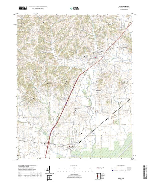
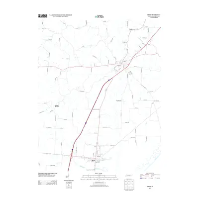
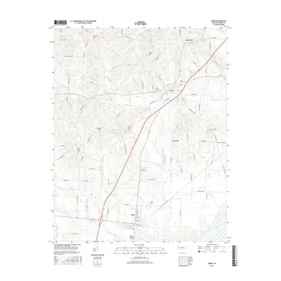
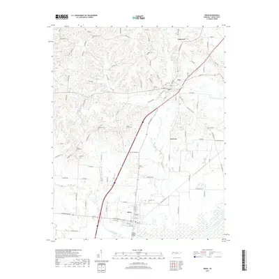
Obion and Troy anchor this western Tennessee landscape, where the flatlands meet the winding corridor of the Obion River. The geography is defined by a dense network of country roads named for local families and early settlers, including Hank Miller Rd and JB Stricklin Rd. These routes connect a remarkable number of small burial grounds, such as New Campground Cem and Old Campground Cem, which suggest a long-established rural community pattern.
Find a feature on this map
102 named features on this map. Tap any name to fly to it.
Don’t see what you’re looking for? This feature index may not catch every label — zoom into the map to look around manually.
Map Details
Date Portrayed2022
Date Published2022
PublisherU.S. Geological Survey
Map TypeTopographic
Scale1:24,000
Physical Dimensions24 x 29 inches
Editions of this 2022 Obion Map
This is the sole edition of this map. No revisions or reprints were ever made.
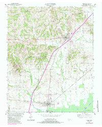
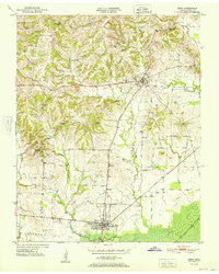
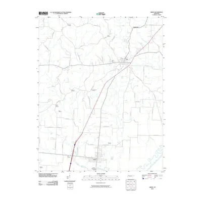
Historical Maps of Troy Through Time
7 maps found
Featured Locations
Source Details
SourceU.S. Geological Survey
CopyrightPublic Domain