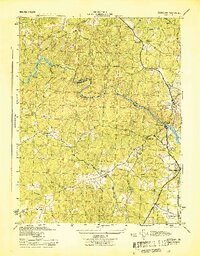
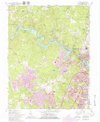
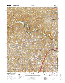
1944 Map of Occoquan
USGS Topo · Published 1944About this map
Occoquan Creek defines the boundary between Fairfax and Prince William counties, winding toward the Potomac River through a landscape of wooded ridges and deep runs. This mid-century survey reveals a transition from rural commerce at Reeds Store and Davis Store to the burgeoning settlements of Woodbridge and the hilltop community of Occoquan. The eastern corridor is dominated by major transit arteries, including the Richmond Fredericksburg and Potomac railroad and the Jefferson Davis Highway.
Find a feature on this map
29 named features on this map. Tap any name to fly to it.
Don’t see what you’re looking for? This feature index may not catch every label — zoom into the map to look around manually.
Map Details
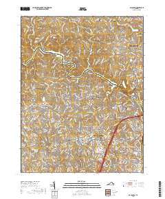
Editions of this 1944 Occoquan Map
This is the sole edition of this map. No revisions or reprints were ever made.
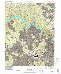
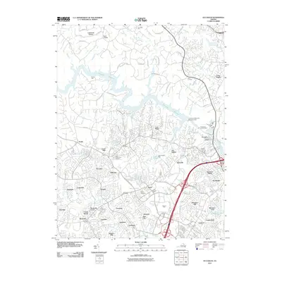
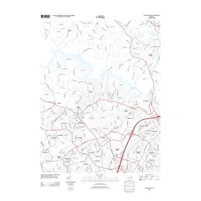
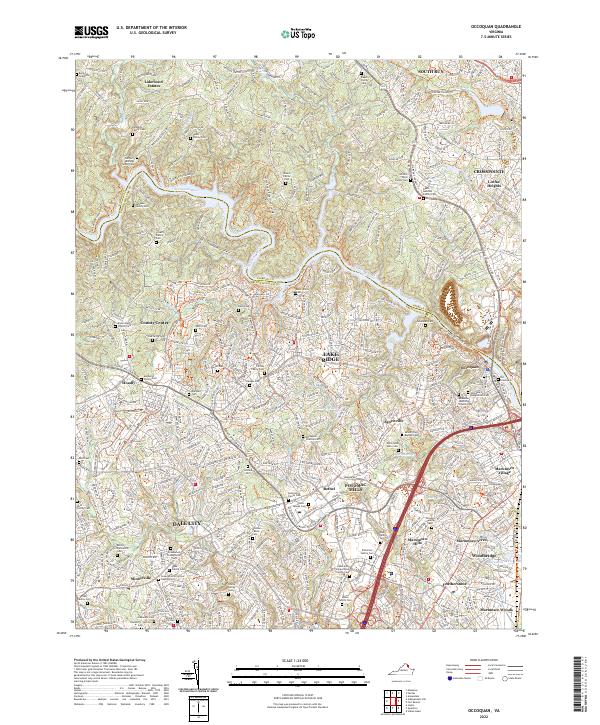
Historical Maps of Dale City Through Time
12 maps found
1944 Occoquan
Prince William County, VA
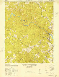
1948 Occoquan
Prince William County, VA
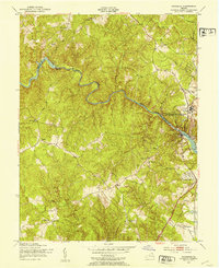
1951 Occoquan
Prince William County, VA
1956 Occoquan
Prince William County, VA
1966 Occoquan
Prince William County, VA

1977 Occoquan
Prince William County, VA
1994 Occoquan
Prince William County, VA
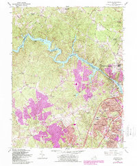
2010 Occoquan
Prince William County, VA
2013 Occoquan
Prince William County, VA
2016 Occoquan
Prince William County, VA
2019 Occoquan
Prince William County, VA
2022 Occoquan
Prince William County, VA