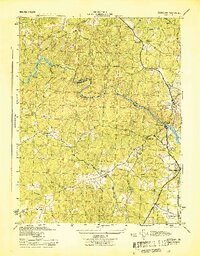
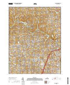
1956 Map of Occoquan
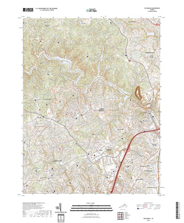
USGS Topo · Published 1988About this map
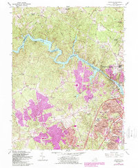
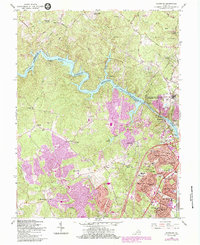
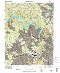
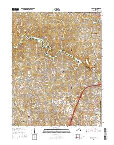
Occoquan Reservoir anchors this landscape, marking the boundary between Fairfax and Prince William counties as it winds through Mountainhead Ridge. At the eastern edge, the town of Occoquan sits just downstream of the Occoquan Dam, a historic mill site turned residential and utility hub near the Richmond Fredericksburg and Potomac rail line. The map reflects a period of significant suburban expansion, with the large residential footprints of Dale City and Marumsco Hills spreading across the southern half of the sheet.
Find a feature on this map
64 named features on this map. Tap any name to fly to it.
Don’t see what you’re looking for? This feature index may not catch every label — zoom into the map to look around manually.
Map Details
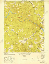
Editions of this 1956 Occoquan Map
4 editions found
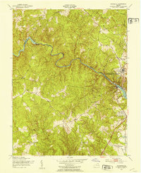
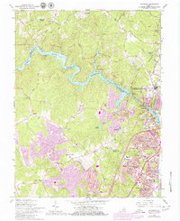
Historical Maps of Dale City Through Time
12 maps found
1944 Occoquan
Prince William County, VA
1948 Occoquan
Prince William County, VA
1951 Occoquan
Prince William County, VA
1956 Occoquan
Prince William County, VA
1966 Occoquan
Prince William County, VA

1977 Occoquan
Prince William County, VA
1994 Occoquan
Prince William County, VA
2010 Occoquan
Prince William County, VA
2013 Occoquan
Prince William County, VA
2016 Occoquan
Prince William County, VA
2019 Occoquan
Prince William County, VA
2022 Occoquan
Prince William County, VA