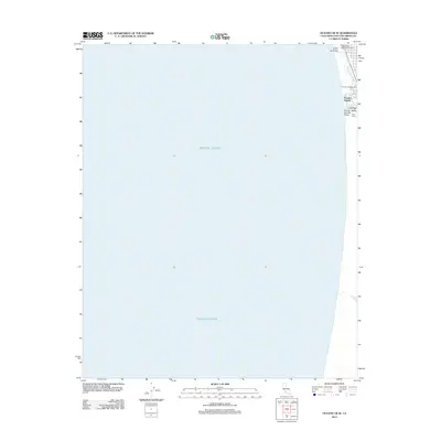
2012 Map of Oceano OE W
USGS Topo · Published 2012About this map
Pacific Ocean swells meet the Central Coast shoreline along this narrow coastal strip in San Luis Obispo County. The community of Oceano Beach and the recreational landscape of the Oceano Campground dominate the narrow margin of land between the sea and the fertile Arroyo Grande Valley. This 2012 survey illustrates the concentration of leisure and natural features along the dunes, including the Pismo State Beach Golf Course and Le Sage Riviera Golf Course.
Find a feature on this map
9 named features on this map. Tap any name to fly to it.
Don’t see what you’re looking for? This feature index may not catch every label — zoom into the map to look around manually.
Map Details
Editions of this 2012 Oceano OE W Map
This is the sole edition of this map. No revisions or reprints were ever made.
Other maps of this area

1897 · Port Harford
USGS Topo · 1:62,500

1897 · Arroyo Grande
USGS Topo · 1:62,500

1900 · San Luis
USGS Topo · 1:125,000

1905 · Guadalupe
USGS Topo · 1:125,000

1941 · Port San Luis
USGS Topo · 1:62,500

1942 · Guadalupe
USGS Topo · 1:125,000

1942 · Arroyo Grande
USGS Topo · 1:62,500

1942 · Point Sal
USGS Topo · 1:62,500
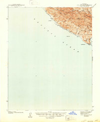
1945 · Port San Luis
USGS Topo · 1:62,500
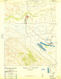
1947 · Guadalupe
USGS Topo · 1:24,000