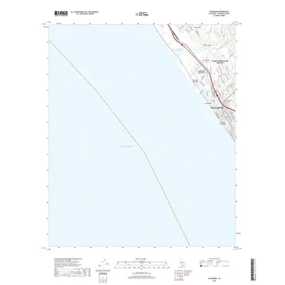
2018 Map of Oceanside
USGS Topo · Published 2018About this map
Oceanside is defined by its strategic coastal position between the Pacific Ocean and the sprawling military grounds of Camp Pendleton South. This 2018 survey documents a landscape where the Santa Margarita River and San Luis Rey River meet the sea, creating distinct ecological and maritime zones. The map details the transition from the protected waters of the Del Mar Boat Basin and the Santa Margarita Marsh to the dense street grids of the city center.
Find a feature on this map
57 named features on this map. Tap any name to fly to it.
Don’t see what you’re looking for? This feature index may not catch every label — zoom into the map to look around manually.
Map Details
Editions of this 2018 Oceanside Map
This is the sole edition of this map. No revisions or reprints were ever made.
Other maps of this area

1893 · Oceanside
USGS Topo · 1:62,500

1898 · Oceanside
USGS Topo · 1:62,500

1901 · Oceanside
USGS Topo · 1:62,500

1901 · San Luis Rey
USGS Topo · 1:125,000

1902 · Capistrano
USGS Topo · 1:125,000

1904 · Southern California Sheet No. 2
USGS Topo · 1:250,000

1906 · Capistrano
USGS Topo · 1:125,000

1941 · Margarita Peak
USGS Topo · 1:62,500

1942 · Margarita Peak
USGS Topo · 1:62,500

1942 · San Juan Capistrano
USGS Topo · 1:62,500